Old Town Print Gallery
Alexandria City Plan Map
Pickup available at Old Town Print Gallery
Usually ready in 2-4 days
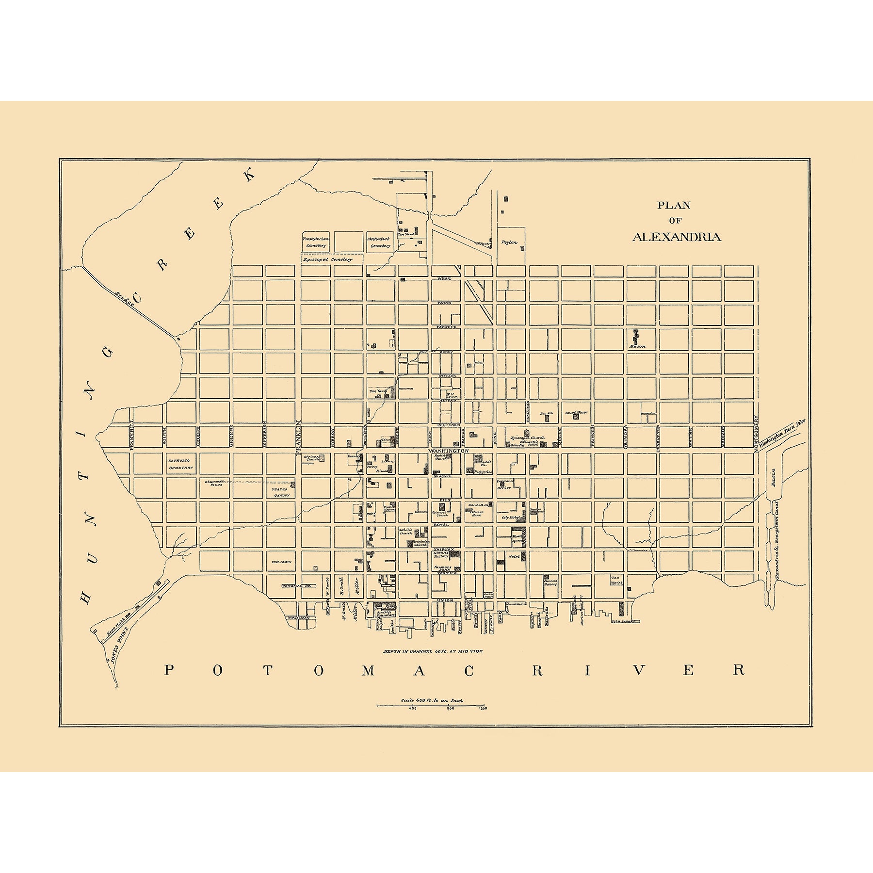
The historic city of Alexandria, Virginia is home to the Old Town Print Gallery studio, and it's also the subject of this unique vintage map! This plan shows the plan of Alexandria, with its grid system of roads stretching out from the Potomac River. Many of the areas on the map are unlabeled, with only select buildings and churches being specifically named. Each road, however, is labeled at its center.
Created in 1962, this map is certainly minimalist in its design. No added frills, just simple information, straight to the point. Like the majority of older artifacts, this map had seen its fair share of wear and tear, accumulating damage as well as fading over the years. Thanks to the skilled team at Old Town Print Gallery, this vintage map has been digitally restored to its original, pristine condition.
Our reproduction prints of this Alexandria map make the perfect home or office decor piece for Alexandria natives! We use only the highest-quality materials and offer prints on both fine art paper and canvas. If you'd like some more information about how materials and prints, click here!
While we offer a range of sizes, we know that sometimes you just need something a little different. If you've got a unique space to fill and are interested in a custom size, just let us know!

