Old Town Print Gallery
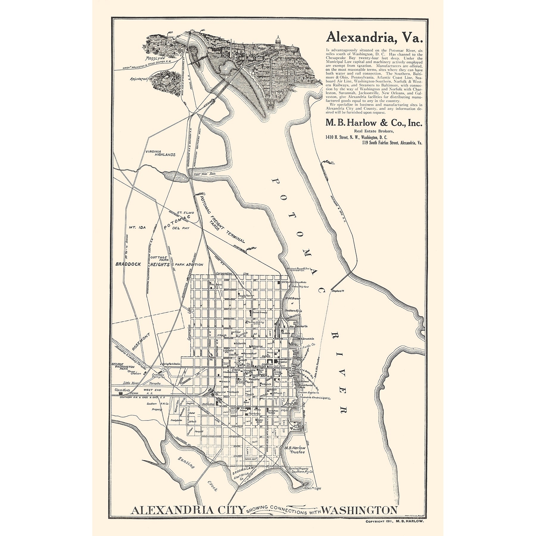
Map of Alexandria City with Connections with Washington
Pickup available at Old Town Print Gallery
Usually ready in 2-4 days
This unique vintage map features Old Town Print Gallery's hometown: Alexandria, Virginia. Alexandria is situated at the bottom of the map, with the Potomac River spanning the full height of the map. Railroad lines stretch from Alexandria to Washington DC to the north, as well as to Arlington and Rosslyn.
The Alexandria section of the map is more in the style of a traditional map, depicting the city's rigid grid of roads. The cities to the north, however, are depicted in a more pictorial style, adding to the uniqueness of this map.
This map was created over a century ago, in 1911. Thanks to the efforts of our skilled team, the map has been digitally restored to remove all traces of damage and deterioration. Our reproduction prints reflect the original condition of the map, free of any signs of age! Our prints are made with archival materials, rated to last 100+ years, so you can be sure you'll be able to enjoy your print for a lifetime.
If you'd like to read more about the materials we use to make our prints, click here! And if you have any questions, or would like to request a custom size, don't hesitate to reach out. We'd be happy to work with you to create the perfect print for your space.

