Old Town Print Gallery
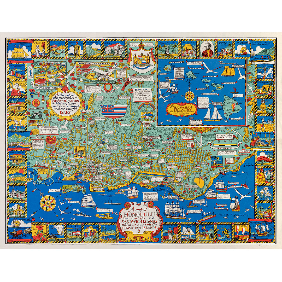
Map of Honolulu and the Hawaiian Islands
Pickup available at Old Town Print Gallery
Usually ready in 2-4 days
Another colorful addition to our collection of pictorial maps is this vintage map of Honolulu and the Hawaiian Islands. The title on the map references the old moniker "Sandwich Islands", and the border surrounding the map is filled with illustrations referencing moments in Hawaii's history. This beautiful map was created in 1927 by Alexander Samuel MacLeod.
Our team has taken care to digitally restore this vintage map, removing dust and dirt, repairing damage, and correcting discoloration and fading. This work is a labor of love, and we're thrilled to be able to bring this unique vintage map back to life. Prints of our restored image are available on fine art paper and canvas, perfect for a unique decor piece in your home or office.
All of the materials we use are archival and museum-quality. We perform thorough quality checks on all of our prints before they leave the studio, ensuring you receive a flawless product. If you'd like to read more about our prints and process, click here!
We offer a range of sizes to fit a variety of spaces and budgets, but if you don't see what you need and would like to request a custom size, don't hesitate to reach out!

