Old Town Print Gallery
Map of Long Island
Pickup available at Old Town Print Gallery
Usually ready in 2-4 days
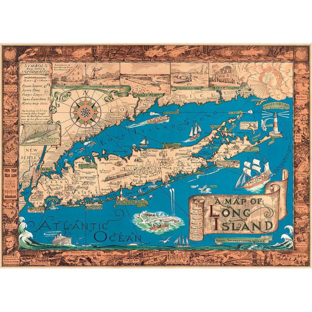
Another beautiful example of pictorial mapmaking, drawn by Courtland Smith, this vintage map of Long Island features the Island's most notable cities and landmarks. There are illustrations throughout the map itself, as well as a fully illustrated border depicting various parts of Long Island's history. Additionally, the map includes information and a small diagram about how Long Island was formed by debris brought from New England by two glaciers.
Made in 1933, this map is a unique piece of Long Island history. Our team has digitally restored this map to its original condition, repairing damage and discoloration, as well as removing dust and dirt. With the file refreshed, we are able to offer fine art reproduction prints, perfect for any home or office.
Our prints are made with the finest quality materials. Our paper and canvas are both fully archival, guaranteed to last a lifetime. Our experts inspect each and every print before it leaves the studio to ensure it is completely flawless. To learn more about our prints and the materials we use, click here!
We understand each customer's needs are unique. If you'd like a custom size or would like to discuss a special project, we're all ears!

