Old Town Print Gallery
Map of Philadelphia
Pickup available at Old Town Print Gallery
Usually ready in 2-4 days
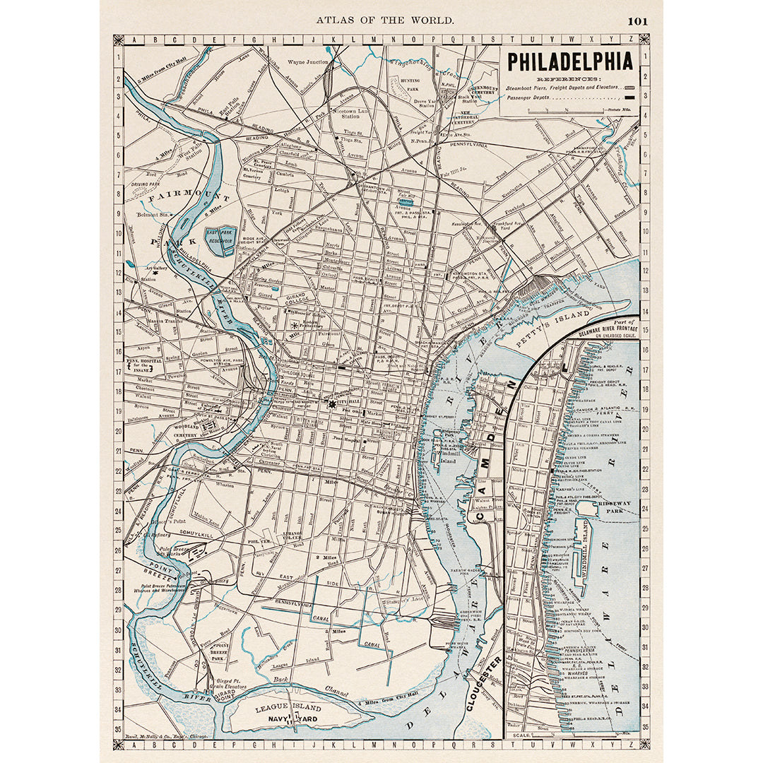
Created in 1889 by Rand McNally and Company, this vintage map shows us Philadelphia as it was over a century ago. Without the frills and artistic liberties of the pictorial maps in our collection, this Philadelphia map gets right to the point, serving as a functional atlas for those navigating Philadelphia at the time.
Being over a century old, this vintage map had gathered dust and damage over the years and underwent fading and discoloration. Our digital restoration team got to work and brought this map back to life, removing the wear and tear of time. This digital restoration allows us to create reproduction prints that are as fresh as the original map printing would have been.
Our prints can be purchased in a range of sizes on both paper and canvas. Both print surfaces are museum-quality and archival, rated to last a lifetime. If you'd like to read more about our prints and process, click here!
If you don't see a size option that works for your space and would like to request a custom size, don't hesitate to reach out! We're ready to work with you to create the perfect print.

