Old Town Print Gallery
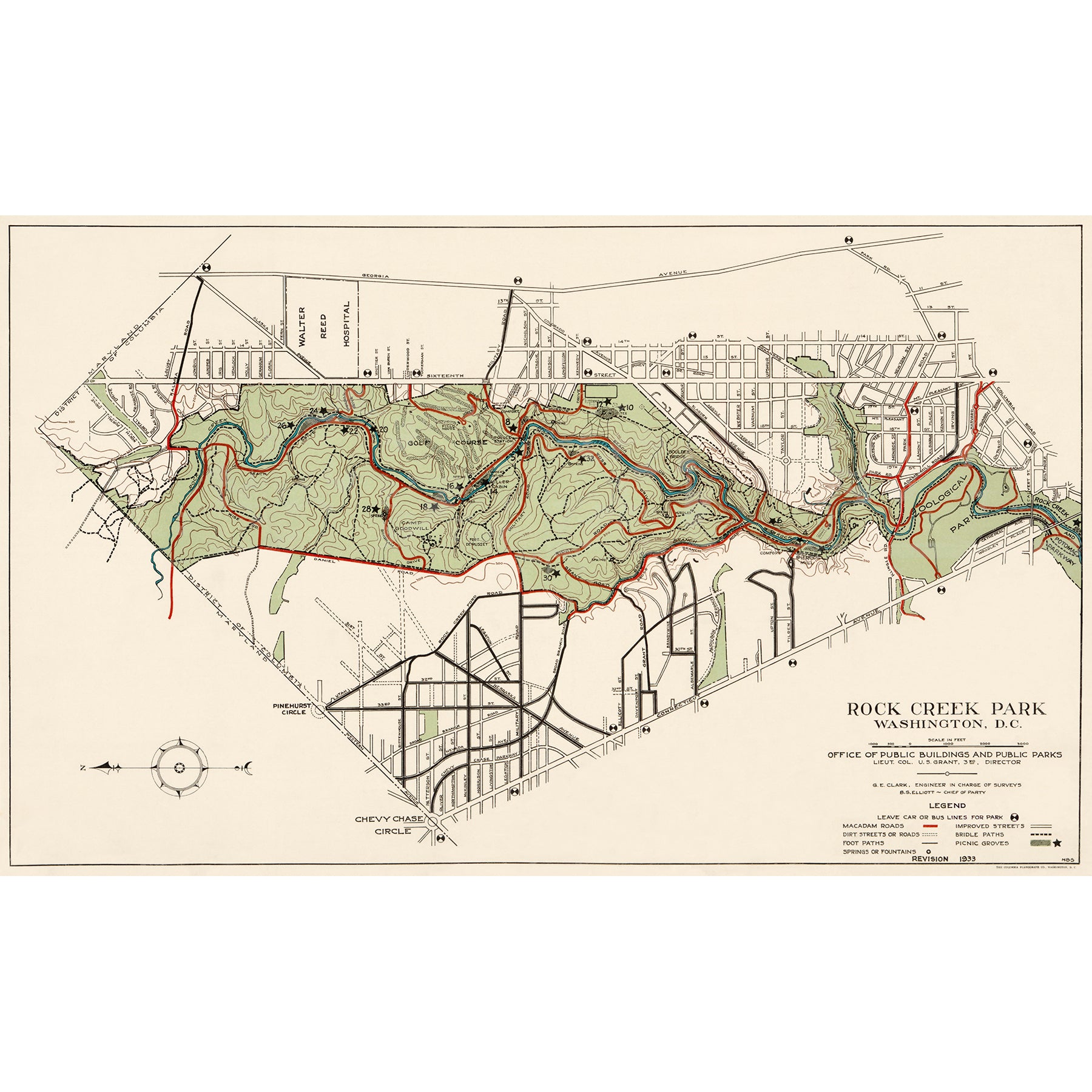
Map of Rock Creek Park, 1933
Pickup available at Old Town Print Gallery
Usually ready in 2-4 days
This vintage map of Washington, DC's Rock Creek Park is a great companion piece to the other map of Rock Creek Park in our collection. The earlier map was made in 1921, while this newer map was created in over a decade later in 1933. Viewers comparing the two will see how much can change in just 13 years. The park has grown in size since the earlier map, and features even more winding roads and trails.
This newer map also includes significantly more of the city roads surrounding the park, offering a clearer picture of the hustle and bustle of the city that surrounds the tranquility of the park.
We have carefully digitally restored this historic map, correcting fading and discoloration, as well as repairing any damage and removing dust and dirt. Now that we've returned the map to its original, beautiful condition, we are able to offer the highest-quality reproduction prints on the market.
Our prints are made using archival, museum-quality materials in our Alexandria, Virginia studio. All of the paper, canvas, and ink we use is rated to last 100+ years without fading or discoloration, so you can be sure your prints will last a lifetime. If you'd like to read a bit more about our process and the materials we use, you can do so here!
If you don't see a size option here that works for your space, please reach out to request a custom size! We're happy to work with you to create the perfect print for your space.

