Old Town Print Gallery
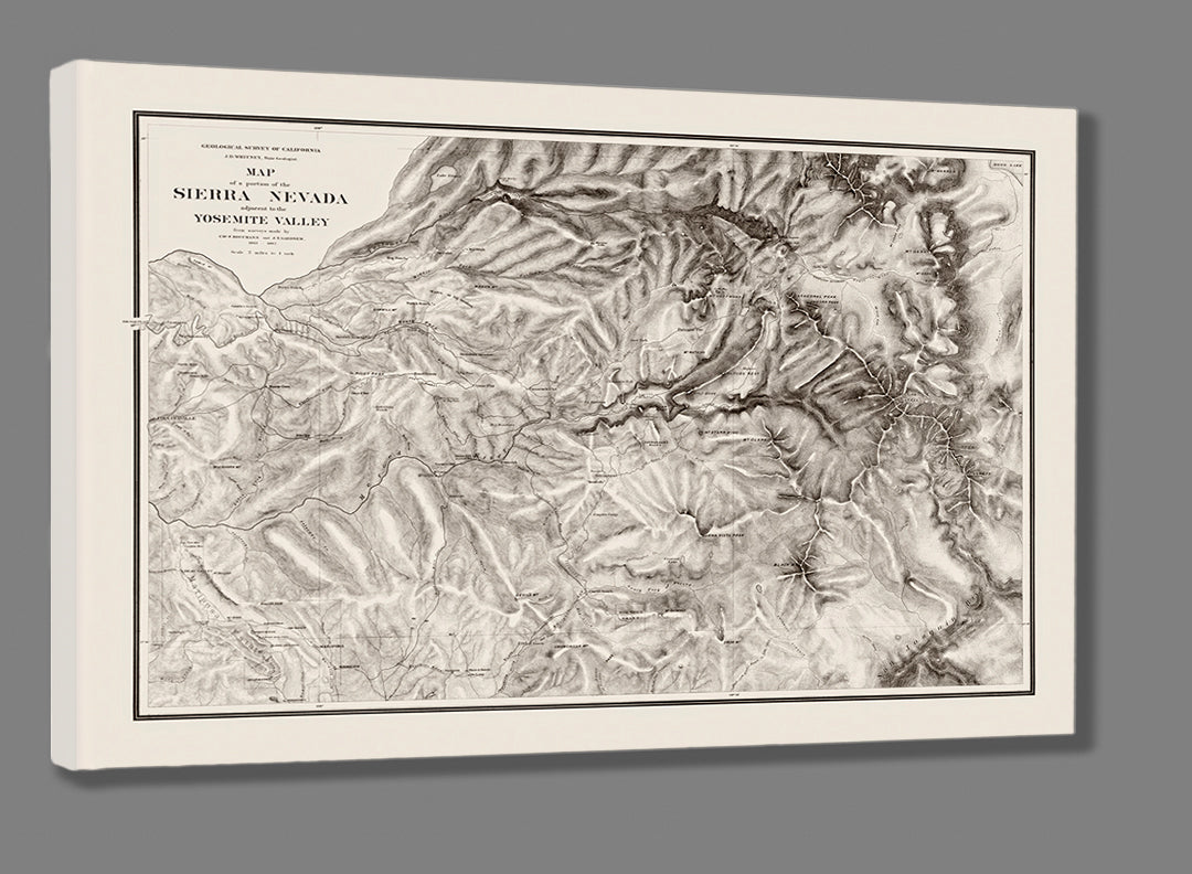
Map of the Sierra Nevada
Pickup available at Old Town Print Gallery
Usually ready in 2-4 days
This vintage map shows, as the title states, "a portion of the Sierra Nevada adjacent to the Yosemite Valley". The map was created from surveys made by Chs. F. Hoffmann and J.T. Gardner. Over 150 years old, this Sierra Nevada map was created between 1863 and 1867. The map uses darker shading to indicate elevation changes, reflecting the peaks and valleys across the landscape.
Vintage maps are rarely in pristine condition, and this map was no exception to the effects of time. Thanks to the digital restoration efforts of our team, we've brought new life into this aged map, and are able to offer reproduction prints that reflect the original condition of this historic map.
You can purchase a reproduction print in a range of sizes, perfect for any space or budget. Our prints are made with archival fine art paper and canvas, rated to last a lifetime, ensuring this historic map will live on for at least another century. If you'd like to read more about our prints and process, click here!
We're happy to accommodate custom orders whenever possible, so if you're interested in a size you don't see listed, don't hesitate to reach out!

