Old Town Print Gallery
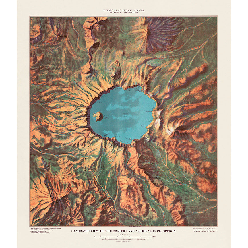
Panoramic View of Crater Lake National Park
Pickup available at Old Town Print Gallery
Usually ready in 2-4 days
This unique vintage map, published by the United States Geological Survey, shows a panoramic view of Crater Lake National Park in Oregon. With its namesake Crater Lake at the center of the map, mountains can be seen extending out in all directions around the lake. The map was created by John Henry Renshawe around 1914.
Over the last century, this map had begun to fade and discolor and accumulated the normal wear and tear seen on nearly all vintage maps and photographs. Thanks to the skilled efforts of our digital restoration team, we've removed all traces of time from this image, returning it to its original condition.
With our newly restored image of this vintage National Park map, we now offer reproduction prints on both paper and canvas. Both options are fully archival, rated to last over 100 years, so you can be sure you'll enjoy your print for a lifetime. If you'd like to read more about our prints and process, click here!
We offer a range of sizes to fit a variety of spaces, but if you don't see what you need and would like to request a custom size, don't hesitate to reach out!

