

Old Town Print Gallery
The National Capitol - Washington DC Birds Eye Map
Pickup available at Old Town Print Gallery
Usually ready in 2-4 days
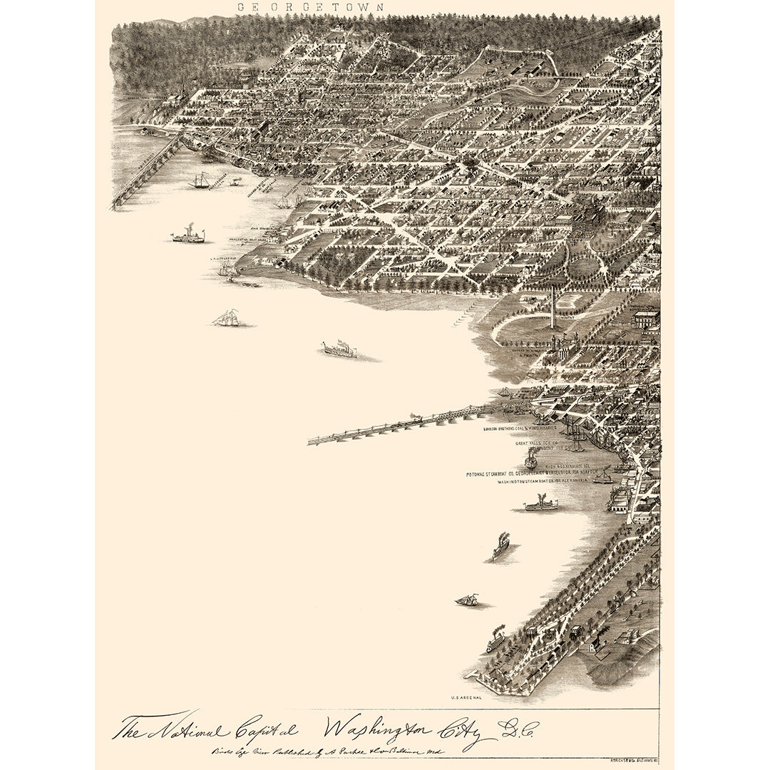
This unique vintage map shows an aerial view of sections of Washington, DC along the Potomac River. Georgetown can be seen in the upper left corner, and the National Mall is depicted in the center of the right side. This map is made in a pictorial style, with illustrations of the buildings throughout the city, as well as ships on the water.
The Old Town Print Gallery team has digitally restored this antique map, correcting fading and discoloration as well as repairing any damage accumulated over time. Our digitally restored map can be yours with our fine art prints, available in a range of sizes on both fine art paper and canvas. Vintage maps make great decor pieces for homes and offices, and this one is perfect for history buffs and DC natives alike!
If you'd like to request a custom size or have any questions about our prints, let us know! We're here to help.